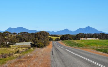
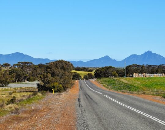
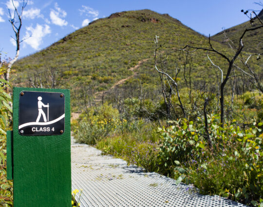
Gnowangerup’s southern boundary is in the Stirling Range National Park, a growing eco-tourism destination drawing an estimated 175,000 people each year, attracted by abundant wildflowers and the highest peaks in the southern half of Western Australia.
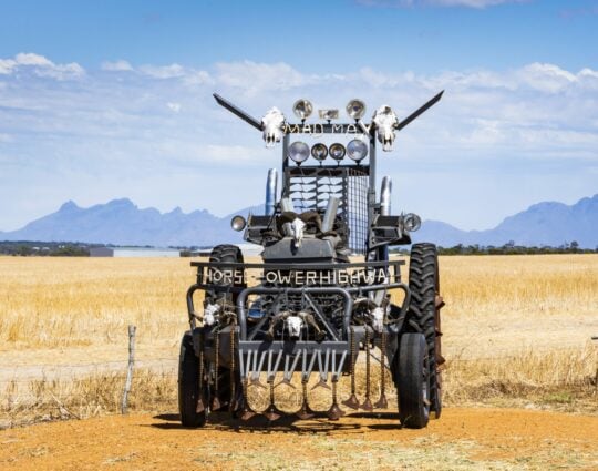
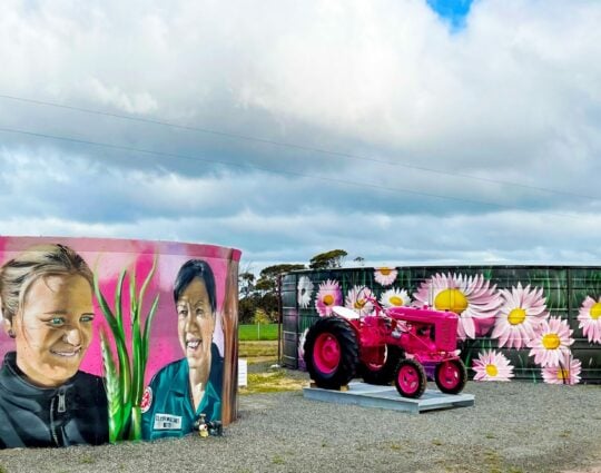
The Horsepower Highway, a 75km stretch of road running from Broomehill through Gnowangerup, is lined with colourful historic tractors, nodding to the agricultural history of the region.
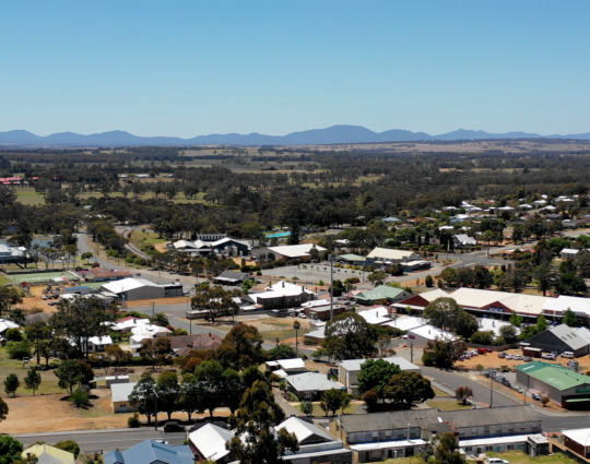
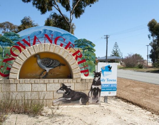
The Shire of Gnowangerup is 354km from Perth and 140km from Albany in the centre of the Great Southern, and features three towns: Gnowangerup, Ongerup and Borden. The Shire’s 100,000 hectares of farmland support a strong livestock industry and cropping enterprises in wheat, lupins, barley, canola, clover seed, peas, oats and faba beans.
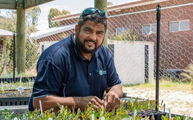
With a population of 1,215 and a land area of 4,265 sq km, Gnowangerup contributes $124.4 million of the Great Southern’s gross regional product. Agriculture is the main employer.
Explore Gnowangerup
Gnowangerup
Gnowangerup’s southern boundary is in the Stirling Range National Park, a growing eco-tourism destination which draws an estimated 175,000 people each year, attracted by abundant wildflowers and the highest peaks in the southern half of Western Australia. Explore Regions
Gnowangerup Gallery
Gnowangerup Lifestyle
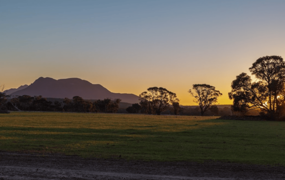
Sunset over the Stirling Ranges
The town of Gnowangerup is completely one-of-a-kind. Living here gives you an amazing feeling of space and a humbling connection to nature. It feels like we live alongside the Stirlings (Stirling Ranges), almost like they are a part of our community. The people here are passionate, and forever dedicated to the town.
Resident of Gnowangerup – Shire of Gnowangerup.


News & Media in Gnowangerup